

Arctic Air Front Brings Cold to St. Louis Region
A cold front introduces frigid Arctic air to St .Louis region, prompting significant temperature drops and frosty wind chills through the week.

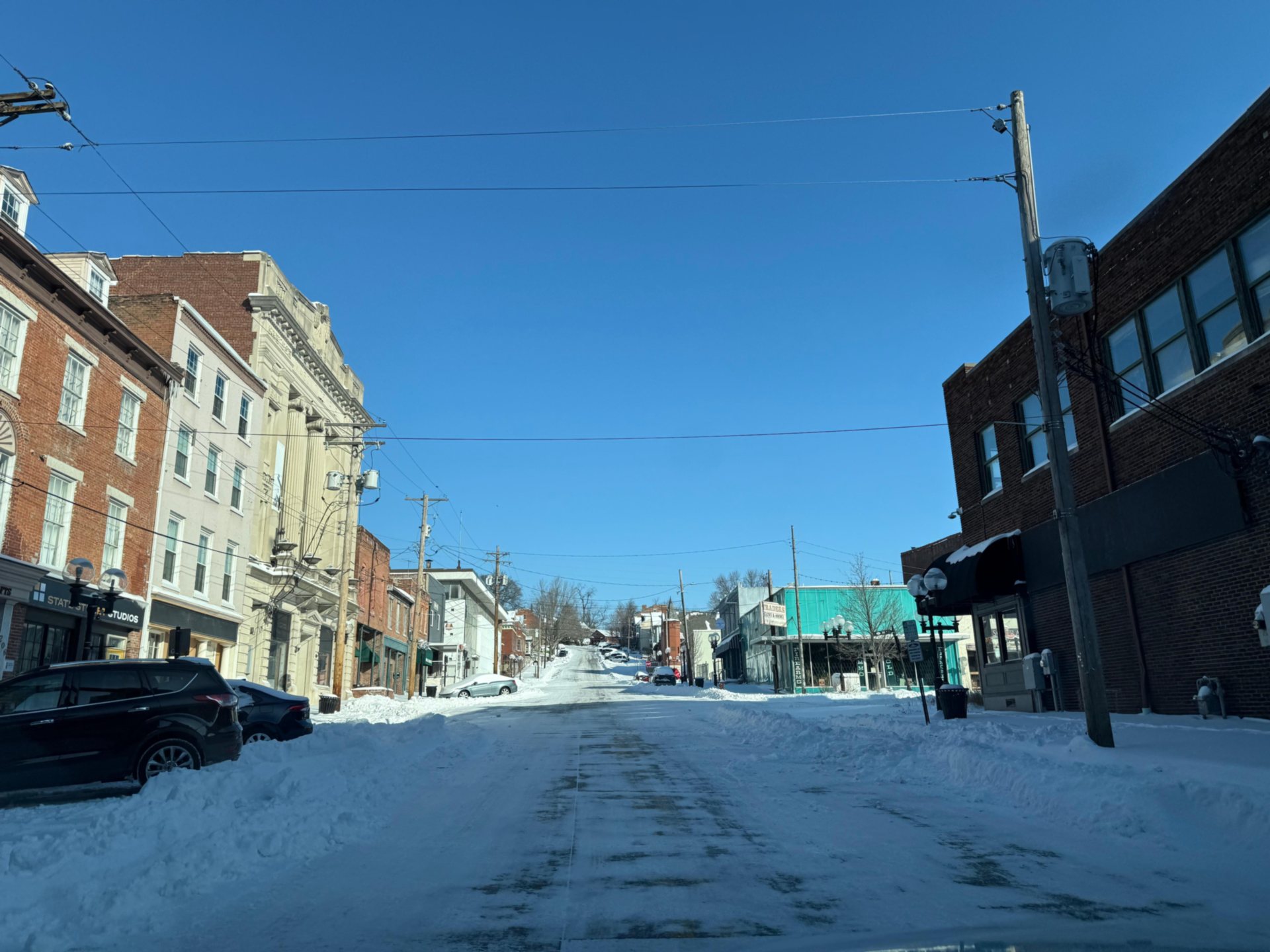
 ST. LOUIS - A cold front moved through the St. Louis region Wednesday morning, Jan. 14, 2026, ushering in the first push of Arctic air and marking a significant drop in temperatures for the area in the coming days, according to the National Weather Service.
National Weather Service Meteorologist Jared Maples in St. Louis said the region can expect a stronger push of cold air from Friday, Jan. 16, 2026, into Saturday, Jan. 17, 2026, with temperatures remaining below normal through at least Monday, Jan. 19, 2026.
Get The Latest News!
Don't miss our top stories and need-to-know news everyday in your inbox.
Highs will struggle to climb out of the high 20s over the weekend, with Saturday and Sunday highs in the upper 20s, well below the typical upper 30s to near 40 degrees for this time of year.
“After nearly a week of above-normal temperatures, the colder air arriving now will persist through the next month or so,” Maples said. “The pattern favors some cooler temperatures once again, with an early start to winter marked by snow on the front end, followed by a warm period, and now a more persistent cooler pattern into late January and February.”
Wednesday’s weather was cold and windy, with highs in the 30s and wind chills in the 20s. Skies were mostly cloudy but gradually clearing by evening. Overnight, clear skies are expected before increasing clouds on Thursday and a chance of a small amount of snow developing late Thursday night.
Maples noted that Thursday evening could bring a brief snow event, with snowfall amounts ranging from a dusting to one or two inches depending on conditions.
“It’s a tricky situation, and sometimes these events overperform, but at the very least, we expect a dusting or a couple of tenths of an inch generally after 6 p.m. through midnight on Thursday,” he said.
The overall trend points to a continued influx of colder air from Canada, resulting in frosty conditions and increased chances for wintry precipitation throughout the week and beyond.
More like this:


- Most Popular


- Top Stories


- Most Recent


- Sign In
- Home
- Video
- News
-
Weather
 Sponsored by Michael Ryan Exteriors - Roofing Professionals
 - Sports
- Obits
- Events
- Radio
- AP News
- Shop Local
- Classifieds
- Autos
- Real Estate
- Directory
Get the RiverBender App


Follow Us
Copyright © 2026 RiverBender.com All rights reserved.
primary