

Today's Weather: Warm and breezy
Wednesday stays mostly dry with highs near 77 before hotter weather and a chance of strong storms arrive Thursday night.
Wednesday starts partly cloudy and cool, then brightens quickly through the morning as temperatures climb toward a high of 77. South winds around 10 mph, with gusts near 23 mph, will be noticeable, but rain chances stay low at 5%. A few clouds may linger early, but most places should stay dry.
By afternoon, sun and clouds will trade places off and on, and it will feel warmer for anyone out and about. The breeze keeps moving, but it is not a washout by any stretch. The evening stays partly cloudy and pleasant, with no major weather problems expected. Overnight, skies turn mostly clear and temperatures ease back to a low of 60. Rain chances only rise to about 20% late.
The allergy index is elevated, led by very high tree pollen. Mold is low, and grass and ragweed stay low. Air quality is moderate.
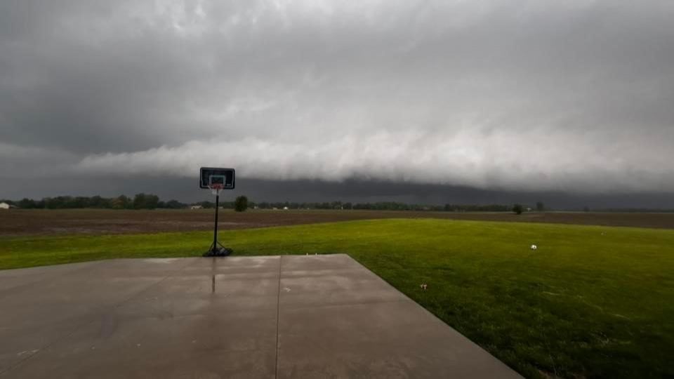
Thursday brings the bigger heat. It looks mostly sunny, breezy and hot, with a high of 93 and a low of 44. Southwest winds may gust near 29 mph, and thunderstorm chances rise Thursday night, when a strong storm could bring heavy rain and damaging winds. After the cool start, temperatures will jump fast, and the late-day storm risk could make for a sharp change by nightfall.
Get the latest updates on weather conditions here: RiverBender.com/weather.
More like this:

- Most Popular


- Top Stories


- Most Recent


- Sign In
- Home
- Video
- News
-
Weather
 Sponsored by Michael Ryan Exteriors - Roofing Professionals
 - Sports
- Obits
- Events
- Radio
- AP News
- Shop Local
- Classifieds
- Autos
- Real Estate
- Directory
Follow Us
Copyright © 2026 RiverBender.com All rights reserved.
primary