

Copyright 2026 Riverbender.com. All rights reserved.
This material may not be published, broadcast, rewritten, or redistributed.
More like this:

- Most Popular

- Top Stories


- Most Recent


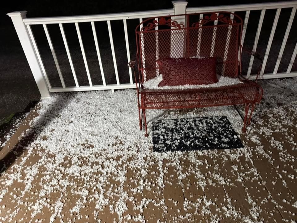
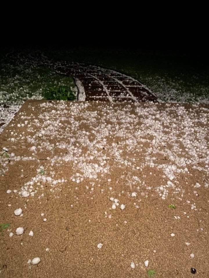
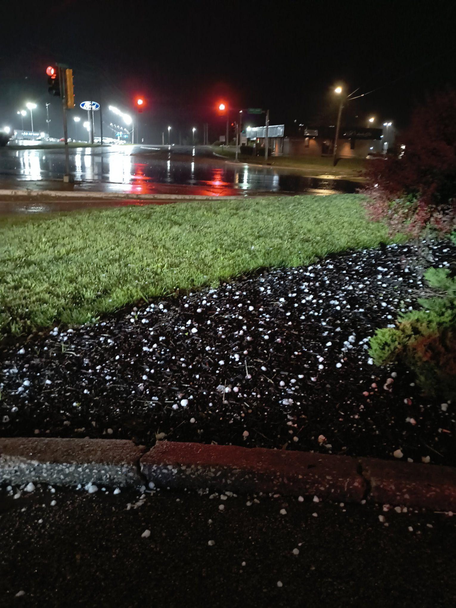
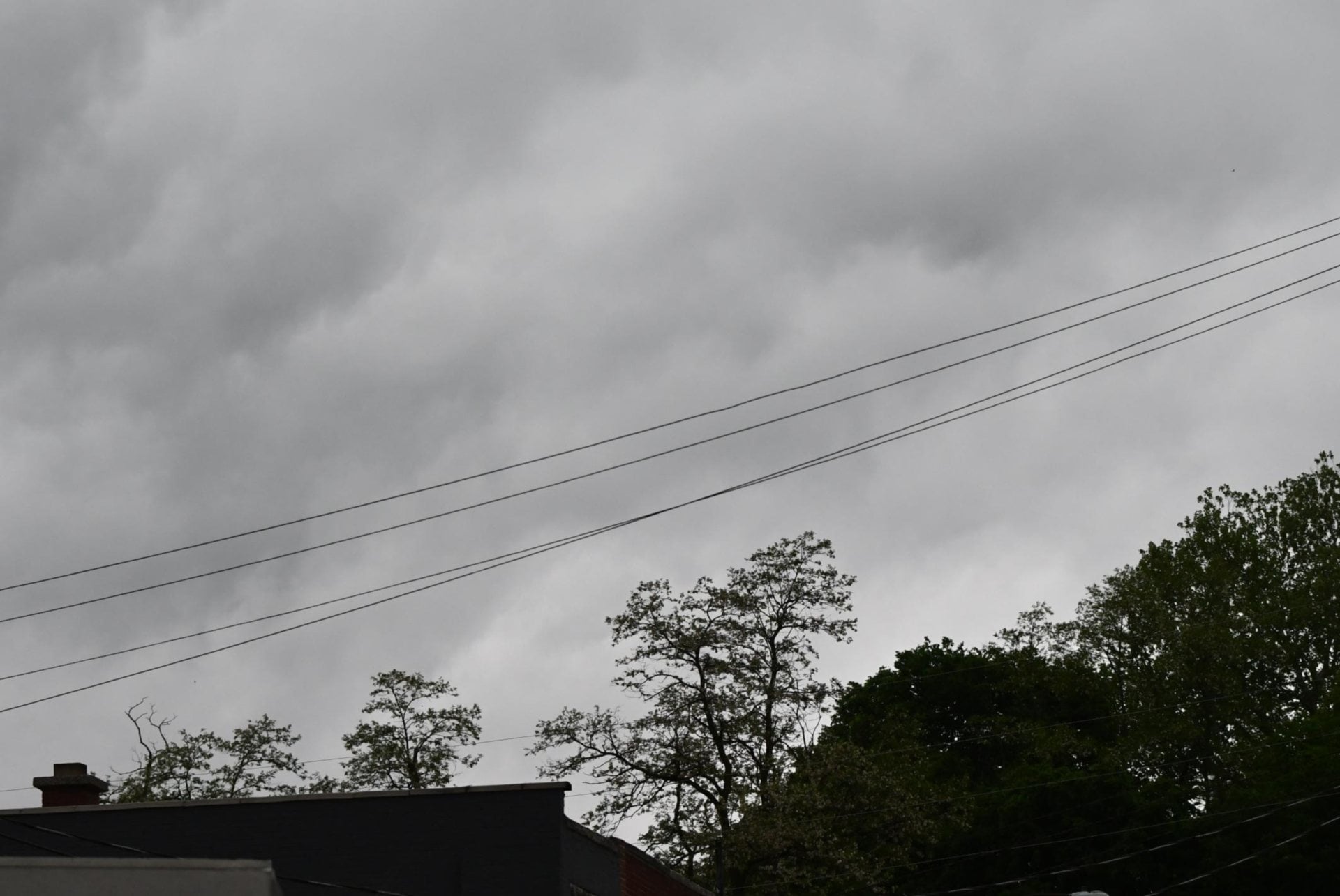
ALTON/GODFREY/MACOUPIN COUNTY - Thunderstorms that developed late Sunday night, May 3, 2026, dropped large hail across parts of Southwest Illinois, and more rounds of storms could follow into Tuesday, May 5, 2026, according to Jarod Maples, a meteorologist with the National Weather Service in St. Louis.
Maples said thunderstorms “initially developed around the region late in the evening, roughly after 10 p.m,” with a storm near Godfrey “just around 11 p.m.” He said additional storms tracked from Greene County through Pike County, then intensified as they moved through Greene into Macoupin County, producing large-size hail in western Macoupin County.
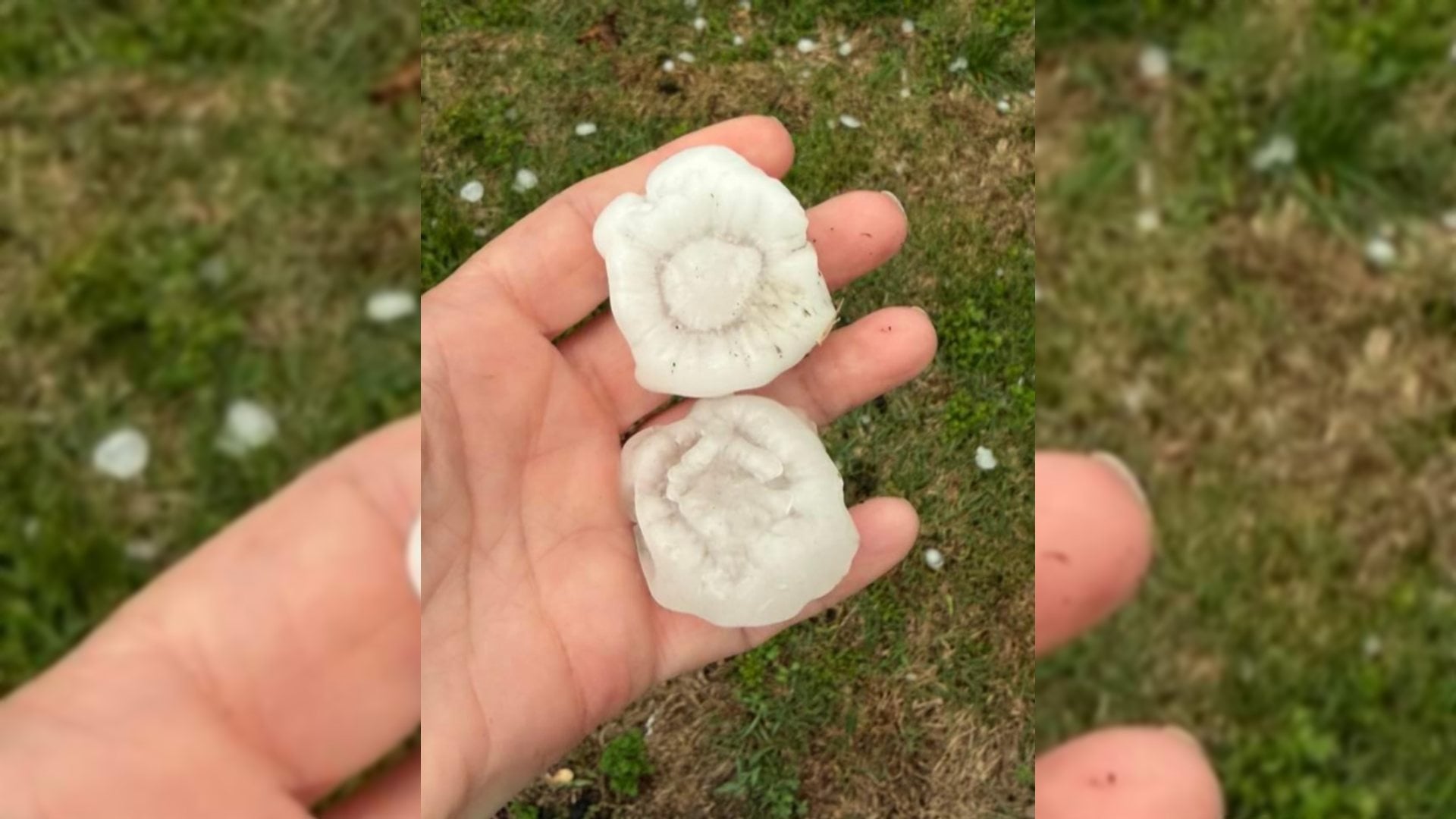
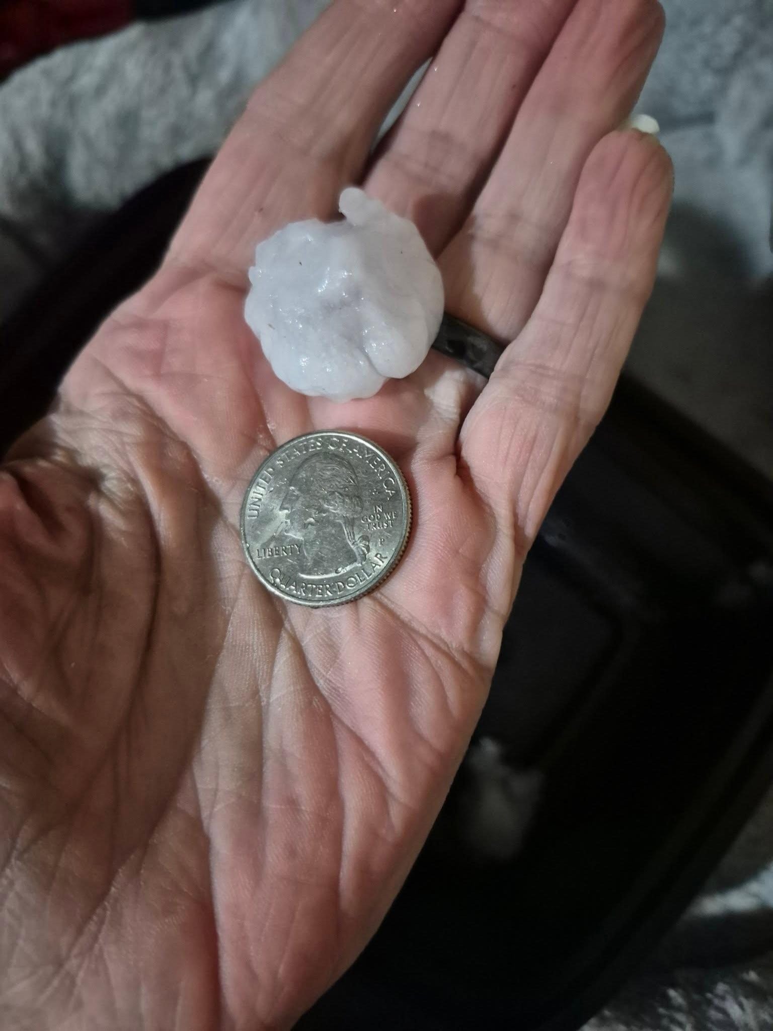
“The one in Macoupin,” Maples said, produced “one-inch hail,” and he cited “a 2-inch hail report 3 miles west of Alton.” He said reports in the Godfrey and Bethalto area ranged from “1-2 inches,” with “a 1.5-inch hail report near Bethalto.”
Maples described the setup as “a strong cellular storm,” adding that “a cold front became a pretty diffused boundary to initiate thunderstorm activity.”
As of Monday afternoon, Maples said there would be “some ongoing thunderstorms this afternoon, but nothing severe,” though “could develop some if severe, more isolated with large hail, primary threat.” He said a secondary front coming out of Iowa could bring another round, with the “primary threat 8 p.m. to midnight in the region,” though the “main question” was whether storms “should weaken as they travel south.”
The National Weather Service in St. Louis said thunderstorms were expected “late this afternoon into the overnight period along a southward-moving cold front,” with afternoon storms capable of “isolated large hail.” It said the “greatest threat for severe storms will be north of I-70 late this evening,” and noted that “if thunderstorms initiate farther north into Iowa, our severe potential will decrease.”
Looking ahead, Maples said the pattern could stay active into the weekend. He also said the “highest potential” appeared to be “tonight into Tuesday” with a “100 percent chance of rain Tuesday through late Tuesday night,” followed by “some low potential 20 percent Wednesday, then dry things out in the the later part of the week, Thursday and Friday,” and “low scattered 30 percent” chances late Friday night into early Saturday.
Copyright 2026 Riverbender.com. All rights reserved.
This material may not be published, broadcast, rewritten, or redistributed.
More like this:


Copyright © 2026 RiverBender.com All rights reserved.
primary