


Keep an eye to the sky Saturday: National Weather Service says Alton has "enhanced risk" for severe weather

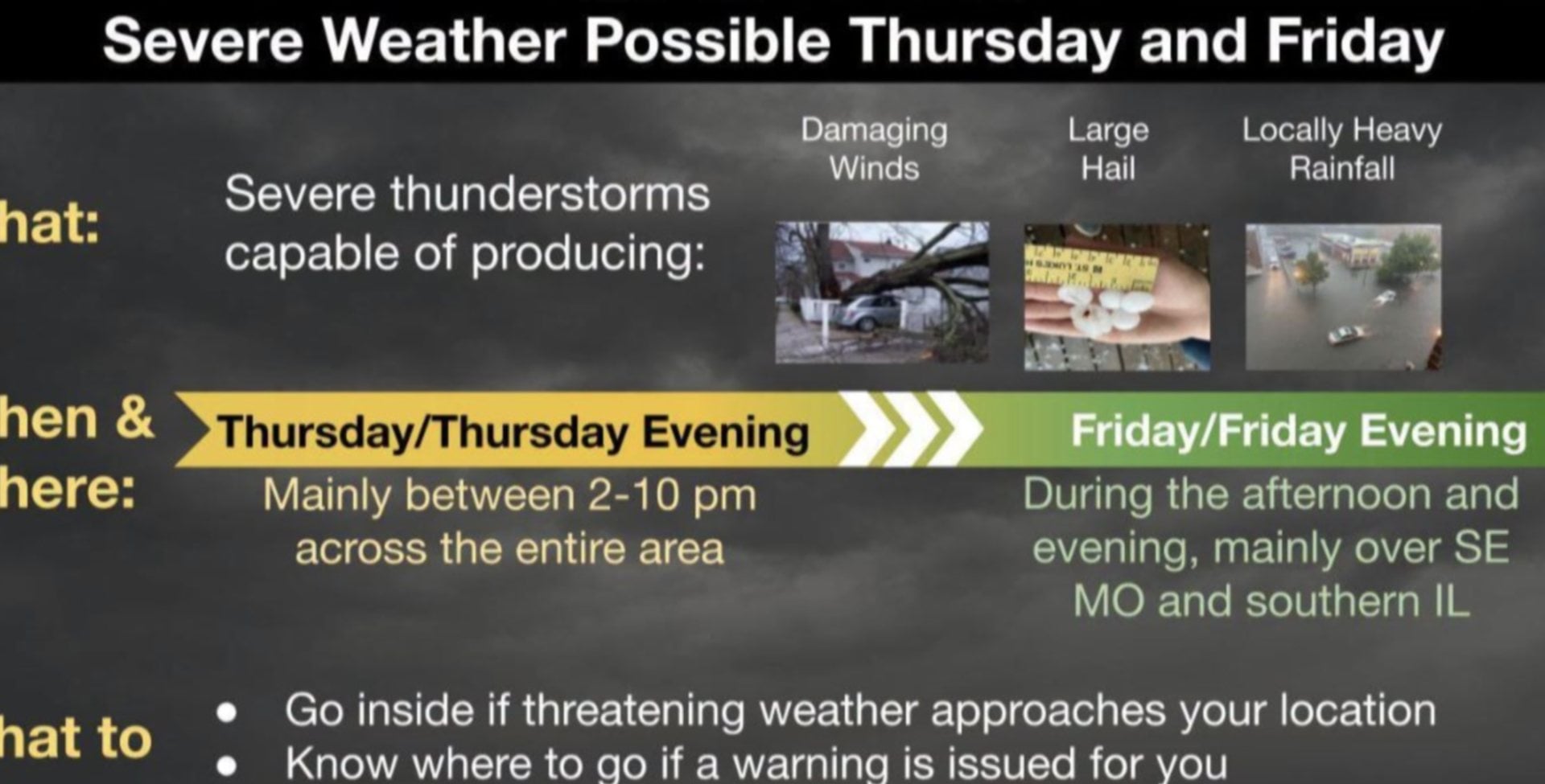
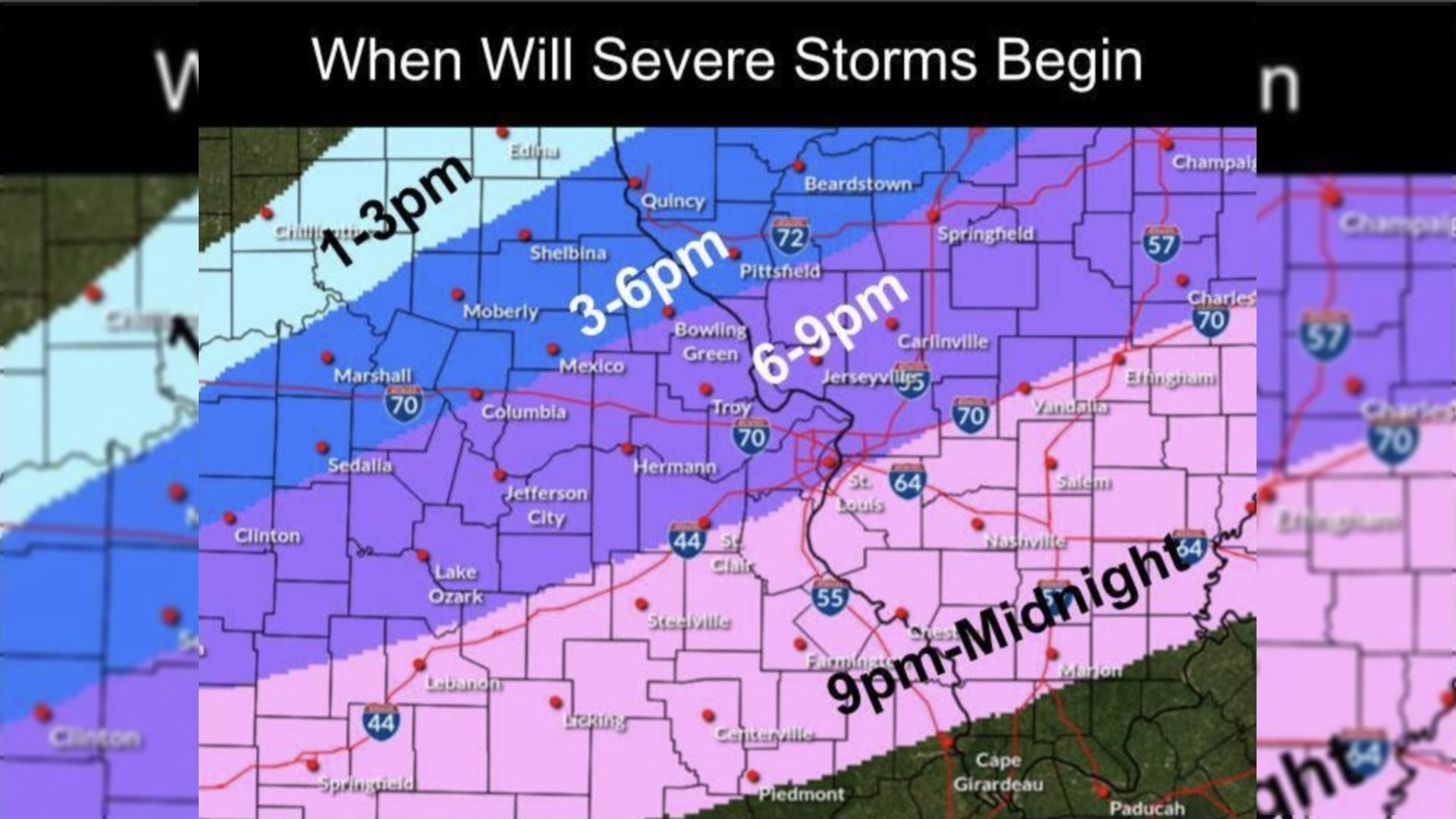
 ALTON - While the worst of this weekend's predicted severe weather is expected to skirt the south side of Interstate 70, Alton is still seeing an "enhanced risk" for severe weather Saturday, according to the National Weather Service (NWS).
South of Interstate 70, the NWS predicts severe storms possible with the greatest dangers being heavy winds and the possibility of isolated tornadoes. In Alton, the risk of severe storms is enhanced, but the NWS said non-severe precipitation is still likely in the mid-afternoon to early evening hours.
Get The Latest News!
Don't miss our top stories and need-to-know news everyday in your inbox.
Storms may linger throughout the afternoon and evening, and possibly into the late night hours of Saturday and early morning hours of Sunday, but after that, meteorologists from the NWS say the threat of precipitation will have passed for the remainder of the weekend.
Sunday and Monday should see highs in the upper 70s - close to 80 degrees on Monday - and at least partly sunny conditions. A meteorologist from the NWS said lows should fall to the lower to mid 60s each night. These temperatures are hovering around the norm for this time of year.
More like this:

- Most Popular



- Top Stories



- Most Recent


- Sign In
- Home
- Video
- News
-
Weather
 Sponsored by Michael Ryan Exteriors - Roofing Professionals
 - Sports
- Obits
- Events
- Radio
- AP News
- Shop Local
- Classifieds
- Autos
- Real Estate
- Directory
Get the RiverBender App


Follow Us
Copyright © 2026 RiverBender.com All rights reserved.
primary