

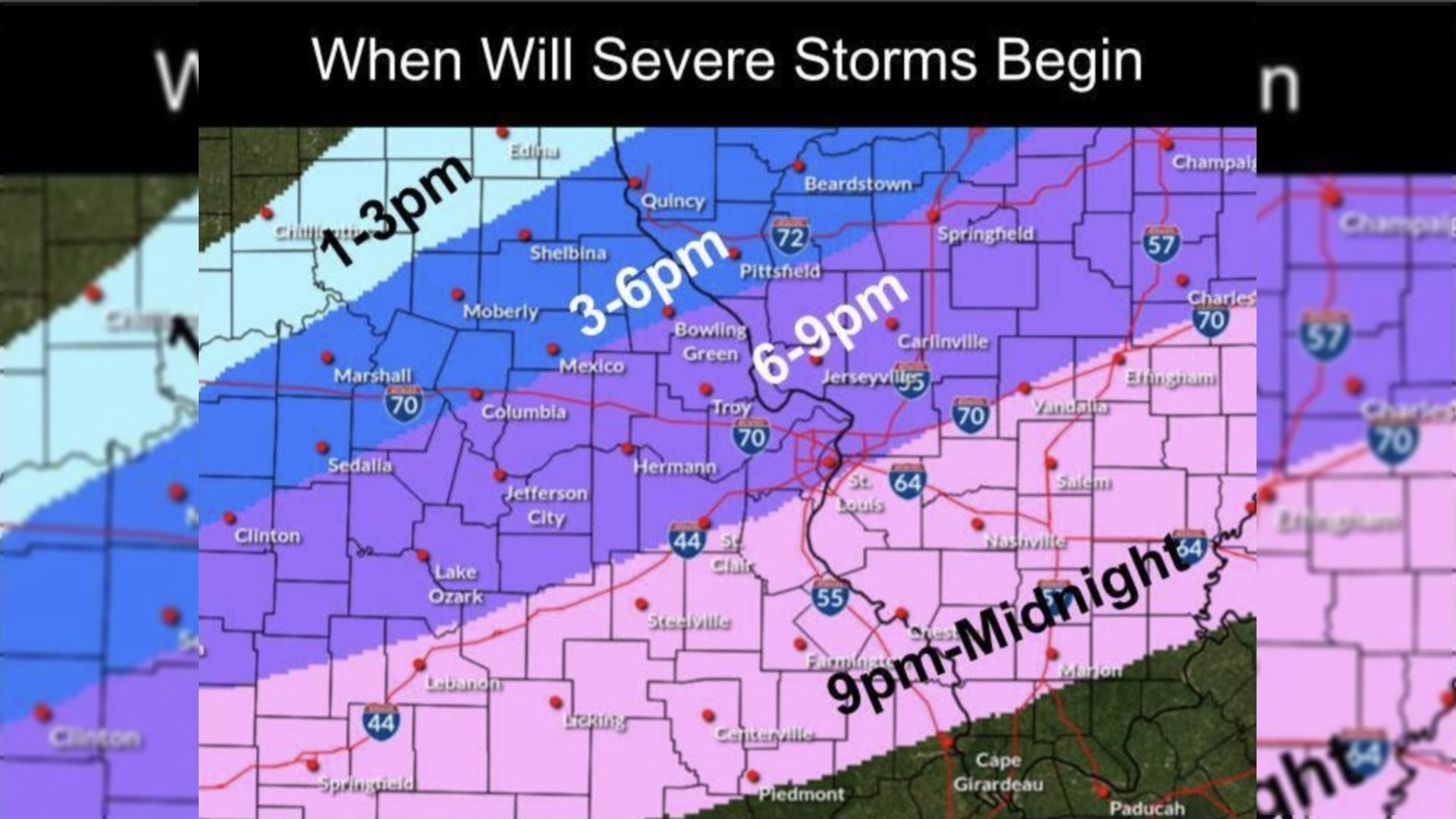
National Weather Service issues alert of strong possibility of severe storms

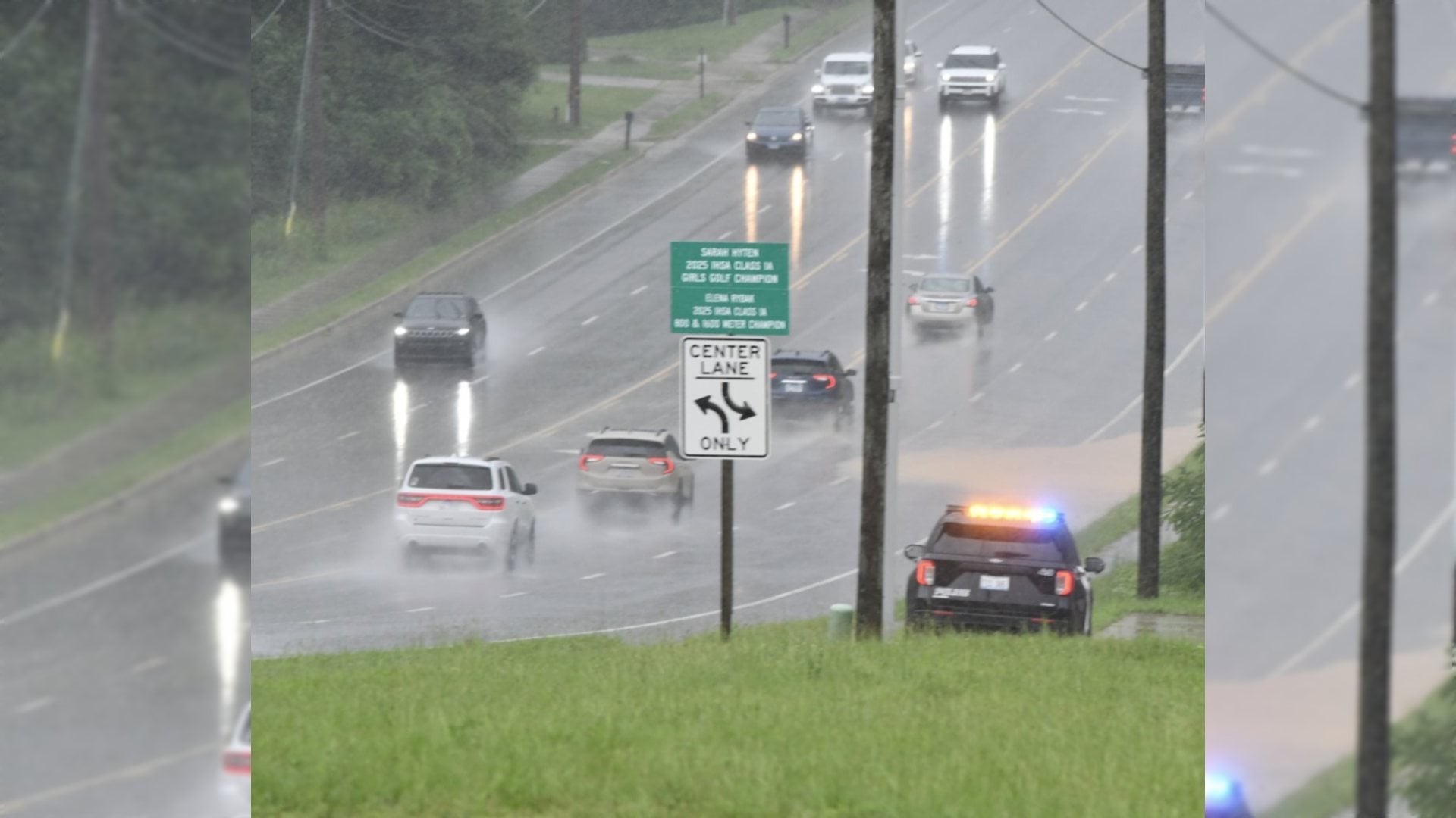
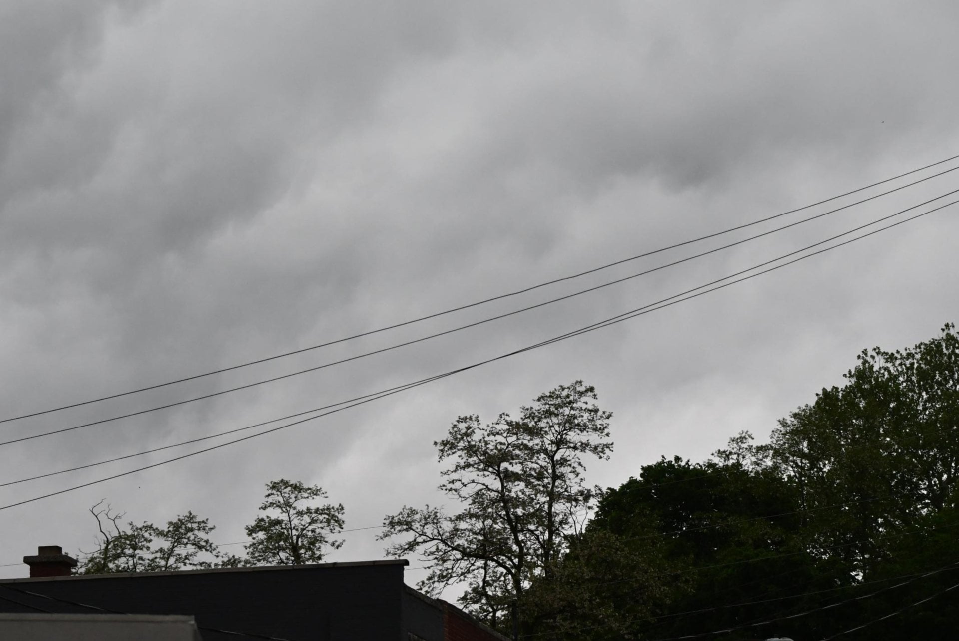
ST. LOUIS - The National Weather Service in St. Louis issued an alert that there is a strong possibility of scattered to numerous severe storms possible Thursday afternoon and evening, with the highest coverage expected over Southwest Illinois and Southeast Missouri.
The Weather Service said today’s primary threats are very large hail (in excess of 2
- inches) and damaging wind gusts to 70 mph.
Get The Latest News!
Don't miss our top stories and need-to-know news everyday in your inbox.

Storms should develop in the mid-afternoon today across portions of Central and South-Central Missouri. Storms will then expand eastward into East/Southeast Missouri and Southwest Illinois through late afternoon/early evening hours. The tornado risk today is low, the Weather Service said.
Additional severe thunderstorms are possible on Saturday afternoon/evening.
More like this:


- Most Popular


- Top Stories


- Most Recent


- Sign In
- Home
- Video
- News
-
Weather
 Sponsored by Michael Ryan Exteriors - Roofing Professionals
 - Sports
- Obits
- Events
- Radio
- AP News
- Shop Local
- Classifieds
- Autos
- Real Estate
- Directory
Get the RiverBender App


Follow Us
Copyright © 2026 RiverBender.com All rights reserved.
primary