

Polar Vortex: Almost out of the woods, but forecast predicts Sub-Zero, snow and (maybe) thunderstorms


ST. LOUIS – The worst of the Polar Vortex has passed over the Riverbend, but the area is not out of the frigid, Arctic woods yet.
Get The Latest News!
Don't miss our top stories and need-to-know news everyday in your inbox.
Meteorologist Thomas Spriggs from the National Weather Service (NWS) in St. Louis said temperatures overnight from Tuesday into Wednesday dropped as low as eight below zero with wind chills dropping as low as negative 29. These historic lows were reached around 8 a.m. Wednesday morning. Temperatures Wednesday are not expected to reach double digits. Spriggs said the forecast high is a “balmy seven degrees.”
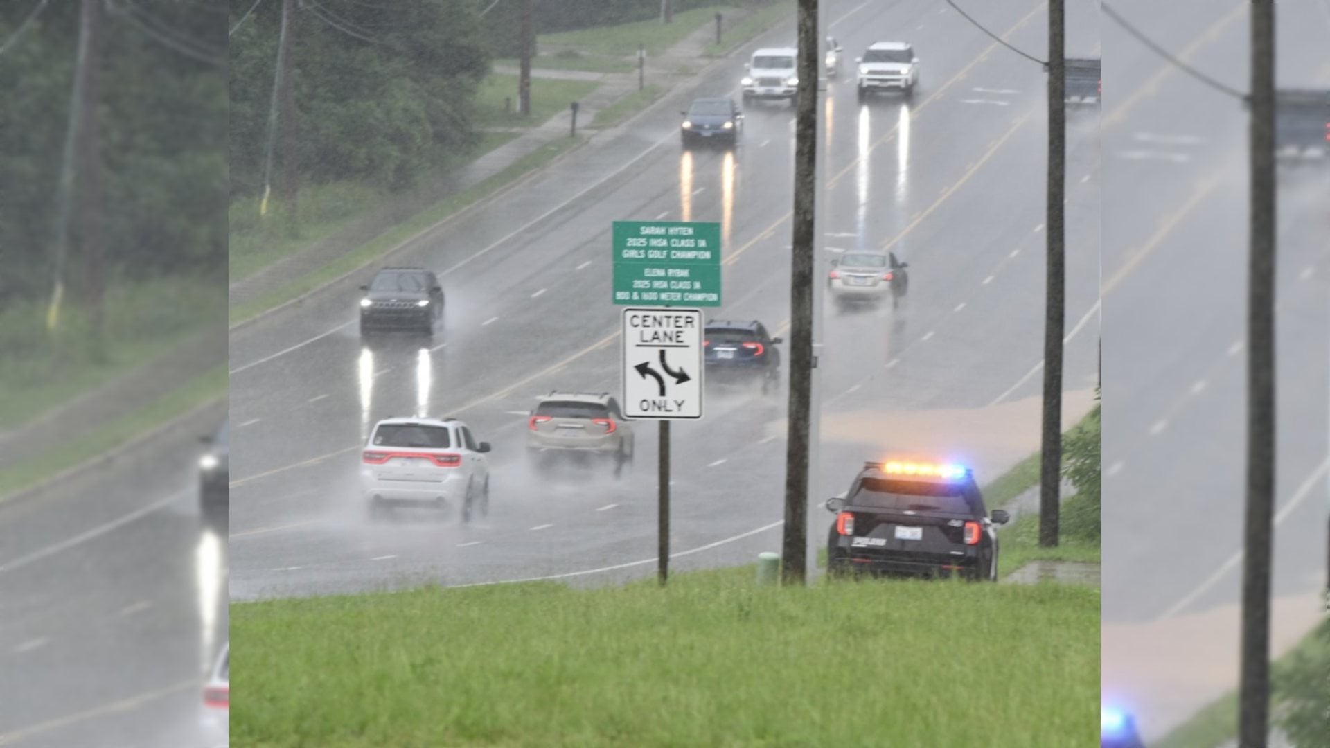
A chance of snow is also in Wednesday's forecast. Spriggs said a small system will be moving through the area around evening rush – potentially leaving as much as a half an inch of accumulation in its wake.
“It may affect visibility, and it's cold enough out there that anything that falls will accumulate,” Spriggs said. “There is more accumulation expected the further south you go.”
Overnight, temperatures are expected to dip as low as three degrees with wind chills dipping again below zero, but not by as much. Spriggs said the lack of double digits will swing both directions – as for Wednesday into Thursday will only see wind chills around negative six or seven.
“Temperatures aren't going to fall too much overnight,” Spriggs said. “It will bottom out around midnight and level out throughout the night as the polar air mass moves away.”
As the Polar Vortex makes its way east, it will be replaced by a (slightly) warmer flow from the Southwest. Thursday's temperatures are predicted to reach double digits at 26 degrees, which is still below normal.
“There's going to be quite a big warm-up by the weekend,” Spriggs said. “It will almost seem like a different world.”
That warming trend is expected to give the Riverbend temperatures into the 40s Friday, into the 50s Saturday, and nearly 60 by Sunday and Monday. With those out-of-season warming trends, however, there is expected to be another tussle with precipitation. Rain is in the forecast for Sunday and Monday. In fact, Spriggs said there will be “a lot of moisture here” on those days. He also could not dispute the potential for that particular system bringing thunderstorms, however, those are not a part of the current modeling for those days.
More like this:


- Most Popular


- Top Stories

- Most Recent

- Sign In
- Home
- Video
- News
-
Weather
 Sponsored by Michael Ryan Exteriors - Roofing Professionals
 - Sports
- Obits
- Events
- Radio
- AP News
- Shop Local
- Classifieds
- Autos
- Real Estate
- Directory
Get the RiverBender App


Follow Us
Copyright © 2026 RiverBender.com All rights reserved.
primary