

Severe Storms and More Flooding Possible Over the Next Week


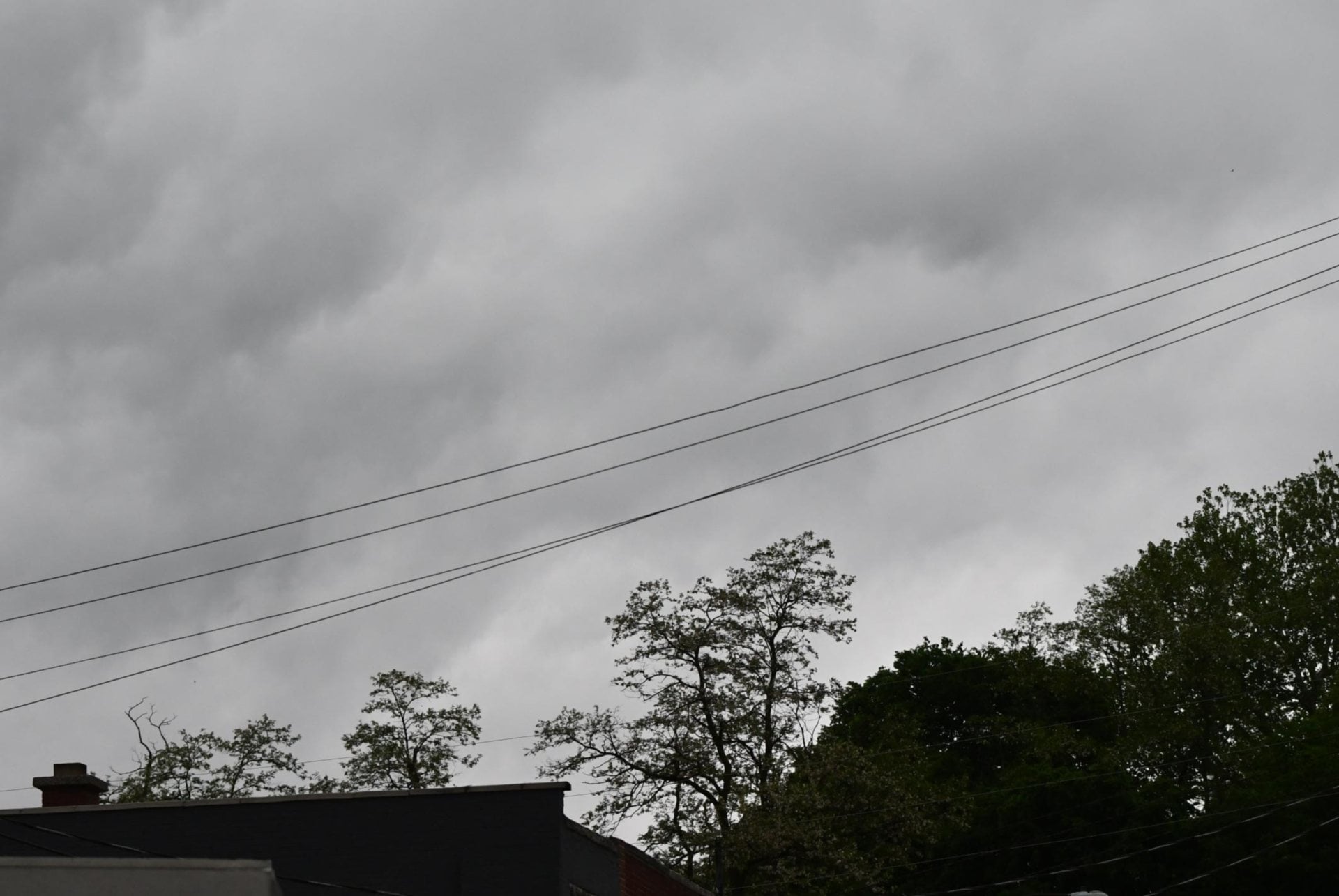
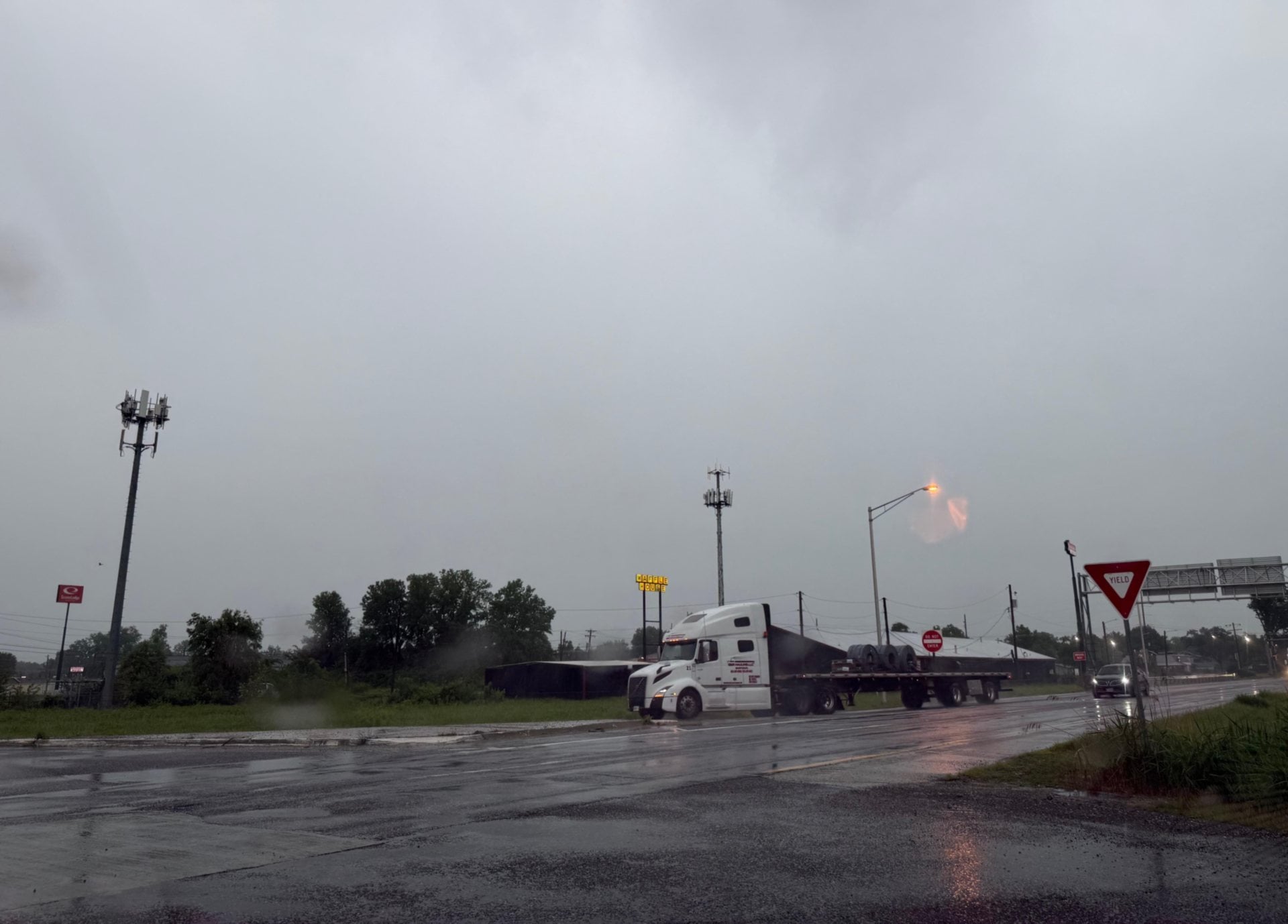
ST. LOUIS – The potential for severe thunderstorms with high winds, hail and heavy rains exists in the Riverbend through Wednesday afternoon, meteorologists from the St. Louis office of the National Weather Service (NWS) said.
Get The Latest News!
Don't miss our top stories and need-to-know news everyday in your inbox.
A line of severe storms moved through the area Tuesday afternoon, spawning both a severe thunderstorm and a tornado warning for Madison County. NWS Meteorologist Kevin Dreitsch said the storms brought winds as high as 60 mph with hail the size of quarters. Rotation was even detected moving toward Hamel from Edwardsville. Dreitsch said another line of storms is expected to move through the area overnight with a chance of precipitation as high as 90 percent. A marginal risk of severe storms is also active for Wednesday evening in Alton as the city celebrates the Small Business Revolution returning for another block party.
Along with the severe weather, a large amount of rain is expected to fall over the next three to seven days in the Riverbend. This precipitation could mean more flooding for areas already negatively affected by high waters earlier this year.
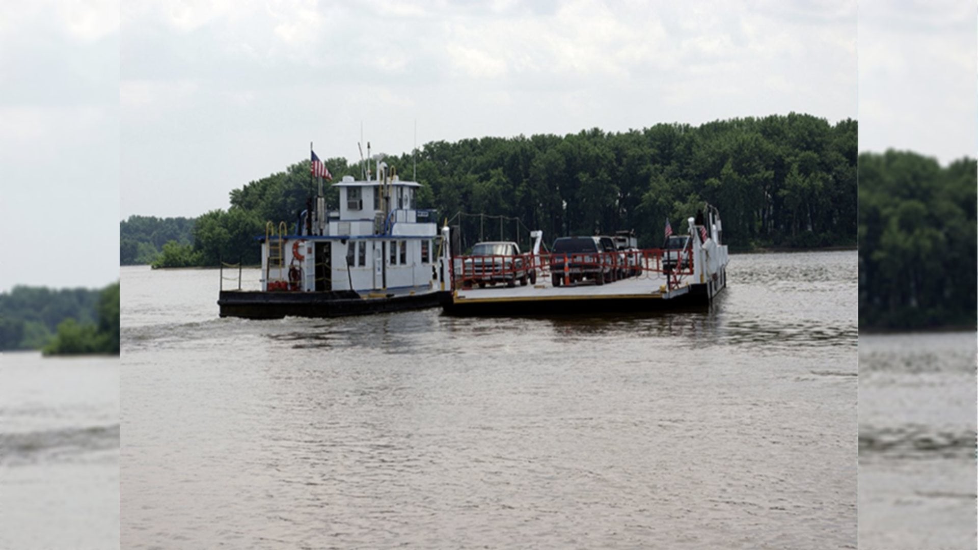
NWS Hydrologist Mark Fuchs said water levels on the Mississippi, Missouri and Illinois Rivers are predicted to rise over the next week. He said the majority of the precipitation is expected to fall within the next 24 hours, which is the extent for which the NWS predicts flood forecasts.
As of the most recent 24-hour forecast, water levels in Grafton are expected to reach a crest of 28.5 feet by Monday, May 6. This is just short of crest levels in that municipality earlier in April, which saw water levels just above 29 feet. Fuchs said water levels at the Eades Bridge in St. Louis could be as high as 40 feet given current forecasts.
While predictions past 24 hours are based almost entirely on weather models and are not used for official forecasts, Fuchs said both good and bad news comes from looking at the ever-changing oracle. While the region is expected to have significant precipitation over the next week, falling over the Mississippi, Missouri and Illinois River Valleys, it is not as much as previously predicted. The most recent models, viewed Tuesday afternoon by Fuchs, showed much of the precipitation would fall along or south of the Missouri River.
Previous to that recent update, Fuchs warned Grafton, Alton and St. Louis could see crests as high as two feet above the current predictions. That would place Grafton in the danger zone of above 30 feet – a significant number for the small river town.
He said the Missouri River at St. Charles could have also seen a crest as much as a foot higher than the current prediction of 29.4 feet. The Missouri River has stayed relatively low this season, which makes flooding due to backup less severe. If that were to raise as well, towns along the Mississippi and Illinois Rivers could see higher flooding than the levels earlier this season.
Less rain over the next week may sound like good news to the people of Grafton, Alton and the rest of the towns adjacent to one of the area's great rivers, but Fuchs warned an increase in precipitation is still expected to continue over the following weeks. Current models do not include this possible influx of rain into their forecasts at this time.
More like this:


- Most Popular


- Top Stories


- Most Recent


- Sign In
- Home
- Video
- News
-
Weather
 Sponsored by Michael Ryan Exteriors - Roofing Professionals
 - Sports
- Obits
- Events
- Radio
- AP News
- Shop Local
- Classifieds
- Autos
- Real Estate
- Directory
Get the RiverBender App


Follow Us
Copyright © 2026 RiverBender.com All rights reserved.
primary