


Should you build an ark? Maybe. A guide to weekend weather in the Riverbend


ST. LOUIS – The National Weather Service (NWS) in St. Louis is predicting as many as eight inches of rain as a possibility over the course of this coming weekend.
Get The Latest News!
Don't miss our top stories and need-to-know news everyday in your inbox.
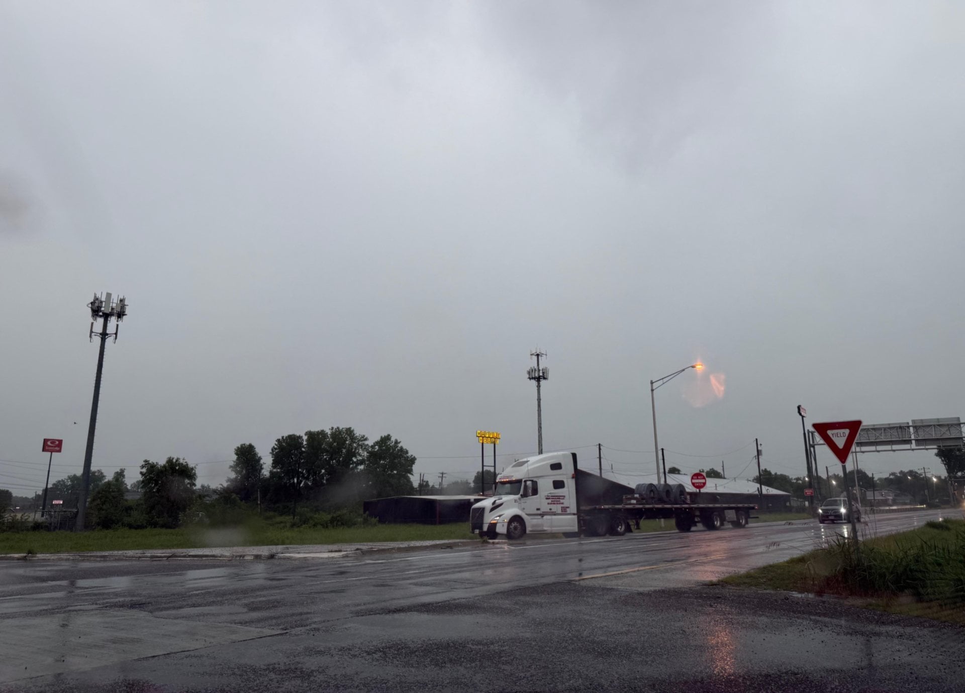
The storm system responsible for this rain, which has caused the cancellation of East Alton's Soapbox Derby and is one of the smaller causes for the downfall of this year's Loufest in Forest Park, is a mixture of a cold front coming through the area and remnants of Tropical Depression Gordon.
St. Louis NWS meteorologist Jayson Gosselin said this system will bring anywhere from four to six inches of rainfall across Eastern Missouri and Western Illinois from Thursday night until Sunday morning with some local precipitation measures being as high as possibly eight inches.
“When this comes through it will go from the mid-80s Thursday to the 70s by Saturday,” he said. “It will be cooler during the day, but still humid.”
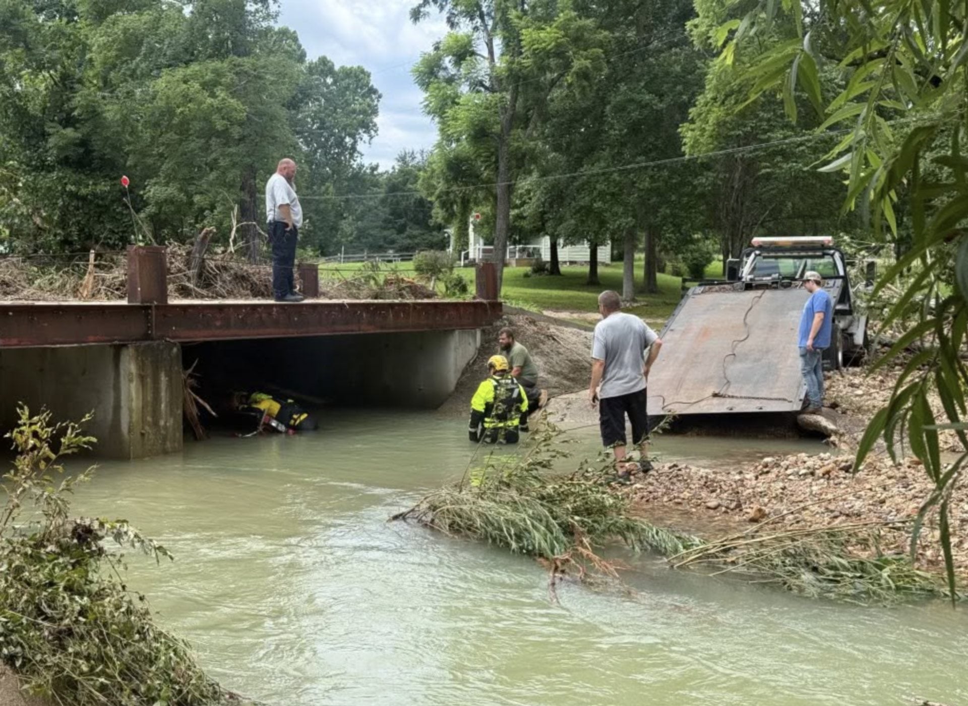
All this rainfall will cause localized flash flooding of streams and creeks as well as minor general flooding. The entire area is under a flash flood watch until Sunday morning. Gosselin said up-to-date predictions for Alton show the river cresting around 25.2 feet Tuesday night following this rain system, which is minor flooding. He said flood stage may be reached by Sunday.
“Alton will hit flood stage late Sunday night based on current predictions,” he said. “Rivers will rise with runoff into next week, but it will take some time to get all that water into the channels.”
As for the cooler temperatures, Gosselin said it was not indicative of an early autumn weather pattern. He said future forecasts predict above-normal temperatures returning later this month coupled with dryer weather, which he said would most likely be good for this area after facing several inches of precipitation.
Current forecasting models predict spotty showers from Thursday through Friday night, when a more widespread rain will occur through late Saturday night. Some thunderstorms may be embedded in the system, but are not an essential part of the forecast.
More like this:

- Most Popular


- Top Stories


- Most Recent


- Sign In
- Home
- Video
- News
-
Weather
 Sponsored by Michael Ryan Exteriors - Roofing Professionals
 - Sports
- Obits
- Events
- Radio
- AP News
- Shop Local
- Classifieds
- Autos
- Real Estate
- Directory
Get the RiverBender App


Follow Us
Copyright © 2026 RiverBender.com All rights reserved.
primary