

Sub-Zero Temps/Heavy Snow Make It Difficult: IDOT Crews Work Overnight To Make Tuesday Morning Commute Possible


Get The Latest News!
Don't miss our top stories and need-to-know news everyday in your inbox.
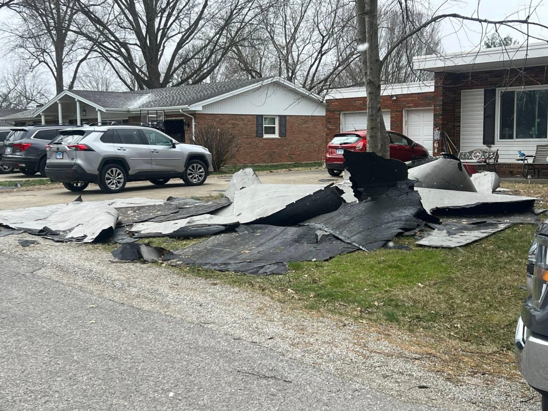
 COLLINSVILLE - The past 24 hours has been an exceptionally hectic, yet important time for Illinois Department of Transportation workers. Joe Monroe, an IDOT operations head and media spokesperson in the region, describes the winter storm and freezing temps that hit on Sunday and Monday as the worst since probably 2015 when there was a similar event.
Monroe said the snowfall range throughout IDOT’s District 8 Region goes from 5.5 inches to 13 inches as far out as Centralia. He said this is unofficial, but his 8-year-old checked snowfall at his home in Godfrey and it was 7.5 inches and he thought that was probably close to accurate in that area.
Monroe always looks to improve how IDOT handles situations but he thought his staff did an excellent job overnight.
“I was out at dark and it was still snowing and the winds were blowing,” he said. “I was pleased with how our crews did overnight.”
Monroe was optimistic that conditions would start to improve with it predicted to rise to 15 degrees above zero, small winds and sunlight for today. He said the heavy winds made it difficult for IDOT’s crews overnight.
“If this continues the way it is we will see drastic improvement in the next four hours, although there is potential for an another weather event into Wednesday.”
Another round of accumulating snow is predicted to impact the area Tuesday night into Wednesday. Light snow of 1-2 inches is possible Wednesday into Wednesday night. A few flurries are projected around Thursday then a slow warming trend begins. A high of 32 degrees for Saturday, 38 degrees Sunday and 44 degrees Monday are predicted.
More like this:

- Most Popular


- Top Stories

- Most Recent


- Sign In
- Home
- Video
- News
-
Weather
 Sponsored by Michael Ryan Exteriors - Roofing Professionals
 - Sports
- Obits
- Events
- Radio
- AP News
- Shop Local
- Classifieds
- Autos
- Real Estate
- Directory
Get the RiverBender App


Follow Us
Copyright © 2026 RiverBender.com All rights reserved.
primary