

Winter Storm Warning Continues Until Sunday Evening
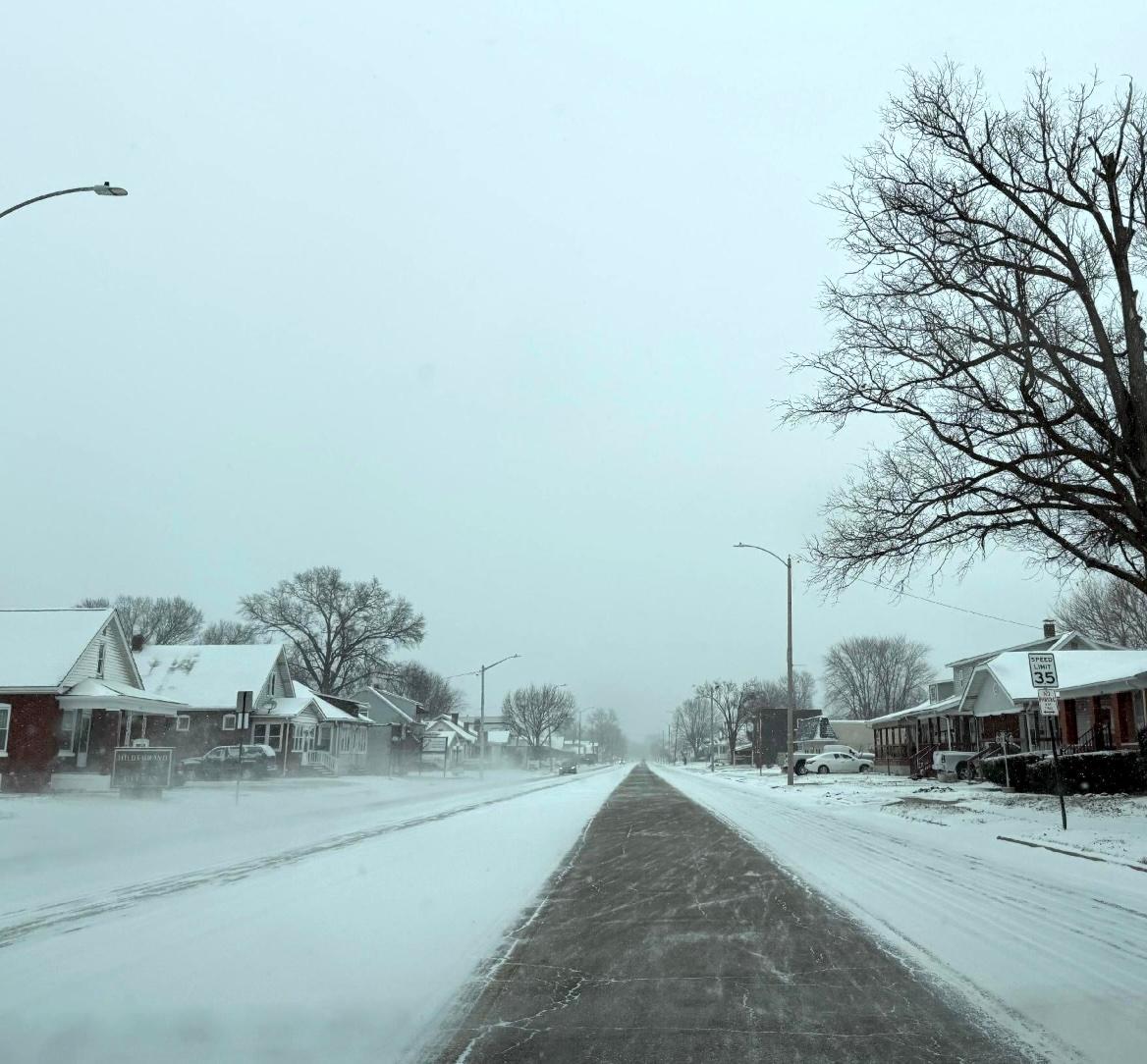
Collinsville, Brighton, Grafton, and Edwardsville see between 7 and 9 inches of snow as of Sunday morning, Jan. 25, 2026.

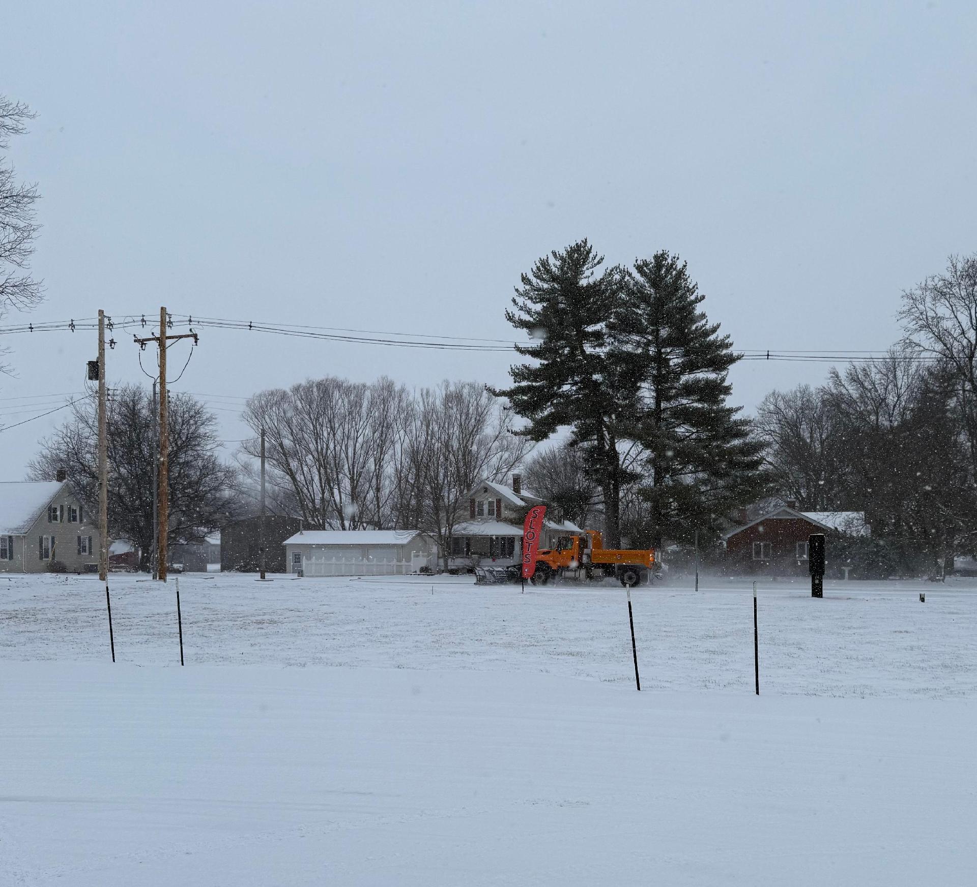 ST. LOUIS — Ongoing heavy snowfall continues to disrupt travel across the St. Louis area Sunday morning, Jan. 25, 2026, with an additional 1 to 5 inches expected through the afternoon, according to the National Weather Service.
As of 9 a.m, Sunday, Collinsville reported the highest area snowfall total with 9 inches. Lambert International Airport in St. Louis recorded 8.8 inches, while Brighton, Grafton, and Edwardsville reported between 7.5 and 7.8 inches.
Get The Latest News!
Don't miss our top stories and need-to-know news everyday in your inbox.
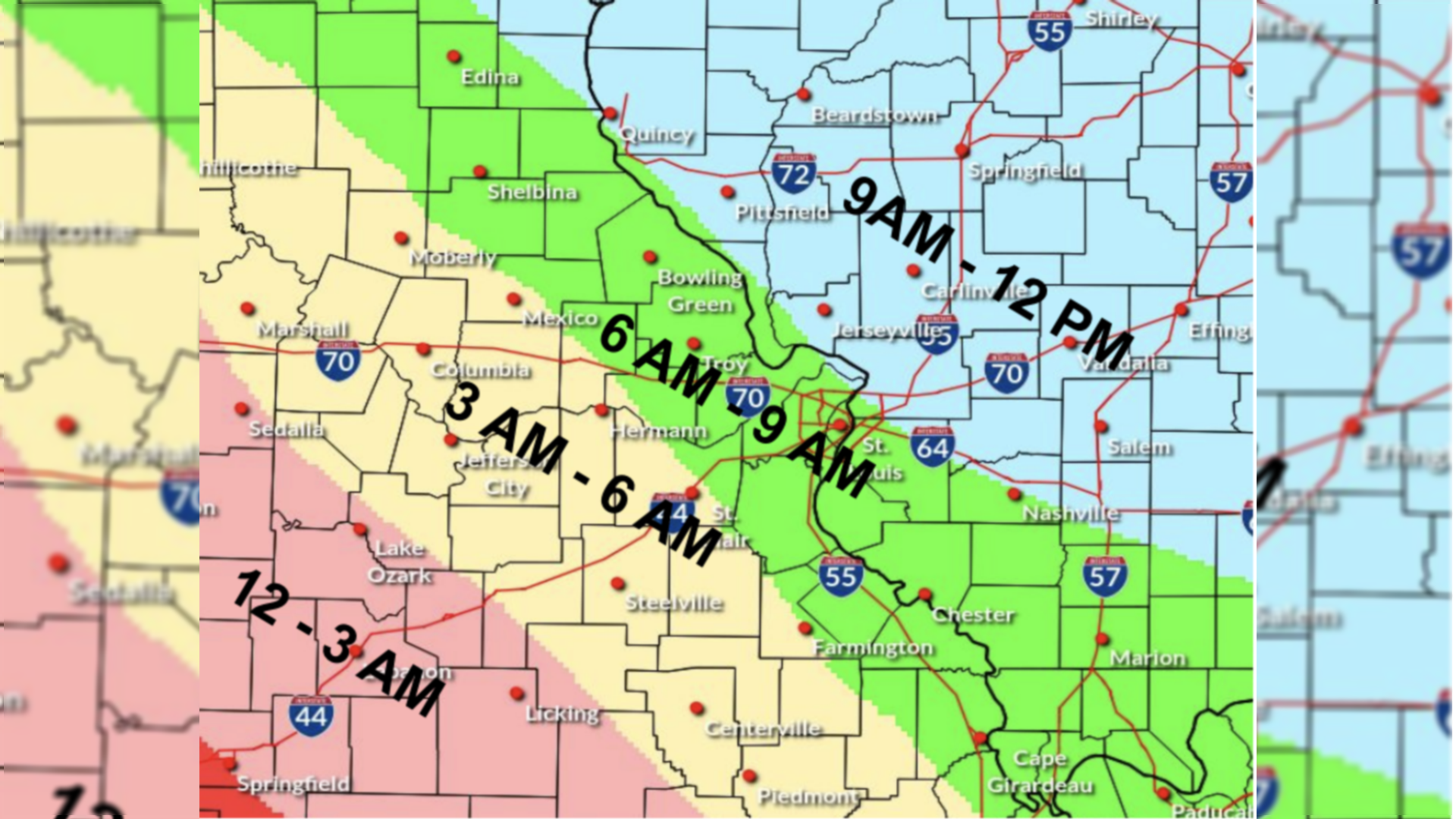
National Weather Service in St. Louis meteorologist Mark Fuchs' predictions on Friday, Jan. 23, 2026, came almost exactly true for the weekend around the region.
He predicted the likelihood of a minimum of 5 inches of snow in the St. Louis Metro area with a Saturday morning start and continuing into Sunday. He also said the area could receive at least 7-8 inches of snow with the long-lasting snowfall from Saturday into Sunday. He also said the snow would taper at some point on Sunday and stop at least by sundown Sunday.
Temps will drop well to single digits and sub-zero lows Monday morning, Jan. 26, 2026, and be cold Tuesday morning and all week long, forecasters say.
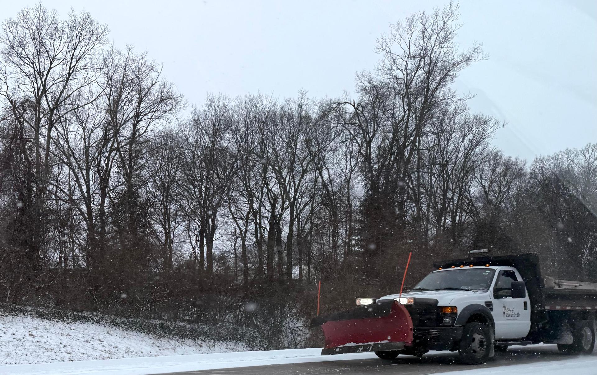
Moderate snow will persist into the afternoon on Sunday, the National Weather Service in St. Louis says.
"Snowfall is expected to taper off from northwest to southeast between late morning and late afternoon, impacting areas from northeast Missouri to Southwest Illinois," the NWS said. "The National Weather Service has issued a Winter Storm Warning and Winter Weather Advisory in effect until 6 p.m.
What does it look like where you live? Share your photos with us by emailing news@riverbender.com.
Stay safe and informed—text @RB to 618-202-4618 to sign up for weather alerts.
More like this:

- Most Popular


- Top Stories


- Most Recent


- Sign In
- Home
- Video
- News
-
Weather
 Sponsored by Michael Ryan Exteriors - Roofing Professionals
 - Sports
- Obits
- Events
- Radio
- AP News
- Shop Local
- Classifieds
- Autos
- Real Estate
- Directory
Get the RiverBender App


Follow Us
Copyright © 2026 RiverBender.com All rights reserved.
primary